This view of a good portion of the country of Chile was recorded with a digital still camera by one of the STS-109 astronauts aboard the Space Shuttle Columbia. Chile's Pacific Coast is featured and the country's borders with three other nations--Bolivia, Peru and Argentina--almost or just barely made it into the frame in three different directions. Punta Angamos and Punta Tetas are readily visible on the anvil shaped peninsular feature, near the city of Antofagasta.
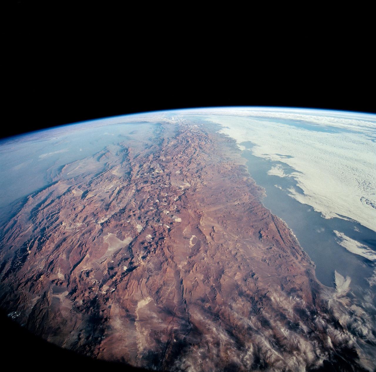
This color photograph is a panoramic (southern view) that features Chile and the Andes Mountains of South America. The Atacama Desert, one of the driest regions on Earth, is clearly visible along the Chilean coast. In the near left foreground is the Salar de Arizaro. Salar Punta Negra in the center foreground appears to be partially filled with water. On the right side of the view, a coastal plateau rises from the Pacific Ocean and meets the Andes Mountains that appear as a backbone running north to south along the border of Chile and Argentina. In the distant left portion of the view can be seen the hazy Chaco Plains and Pampas.
@joelneira ...


Wallpapers de calidha
imbeciles que creen q la tierra es plana y creen en el comunismo


